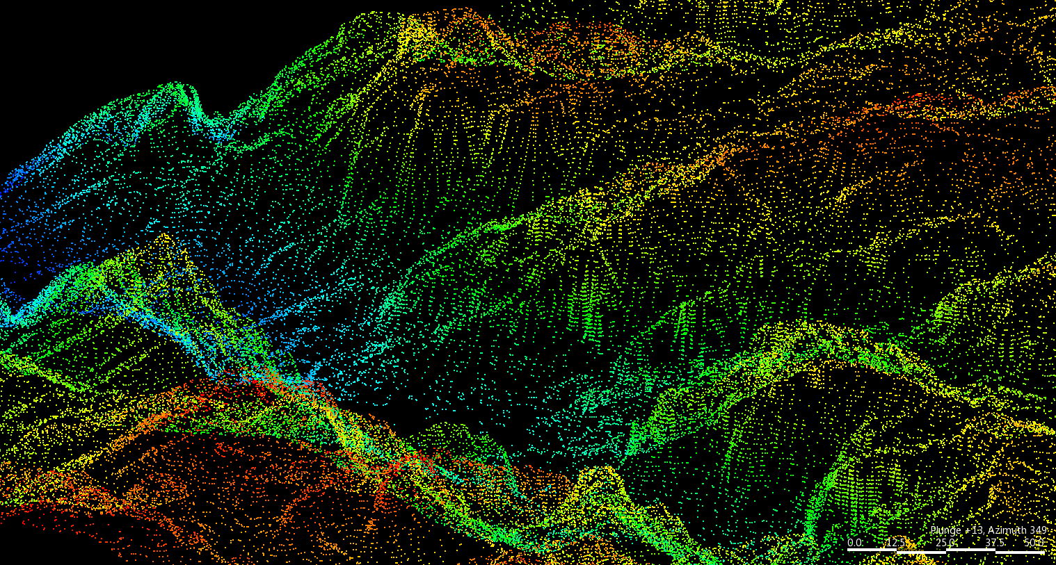
Point Cloud Survey Data in BIM
The Point Cloud Data extracted from Survey has been a great breakthrough during the past years. Now a days the cost of a Point Cloud Survey is now roughly the same as a traditional 2D Survey, with the advantage that is much more accurate and much faster.

With this information in our BIM model the improvement of precision on a project and its interaction with the environment or the previous situation has a great value during the Project process. It is also a gray way of track the development of the work on construction site related with the project design.

Courtesy of AECbytes

One of the main new features of ARCHICAD 19 is how easy and fast this information can be use and manage in the BIM environment.
In these short tutorials is easy to understand its mechanism and how to use it in your own project.
There is also a very interesting Live Online Webinar hosted by Graphisoft in December of a case study about using this technology on the renovation and preservation of the Arizona State Fairgrounds Grandstand Building, a 1938 WPA project built of concrete, steel, and some adobe.

